Townsites
Townsites
Home NEW Updates About Us Feedback Historic Sites Consultants Contact Us Terms/Conditions
|
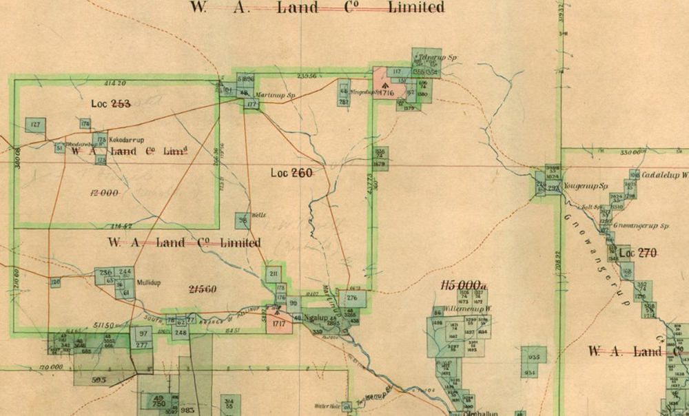
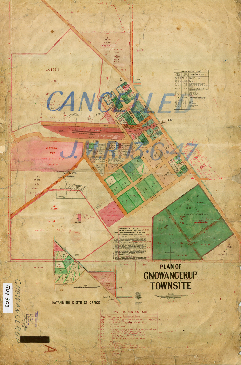
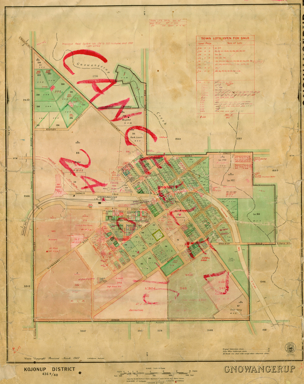
GNOWANGERUP MAPS The town site had been declared on July 13 1908, and was still being cleared in 1909. Earlier in 1870 John Forrest had travelled through the District and had stayed with Edward Treasure at Martinup, not far from Whiteworth on the Gnowangerup-Broomehill road. This was originally a pastoral lease established in the early 1800’s.
|
|
|
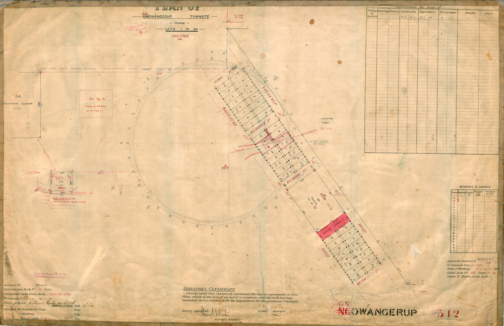
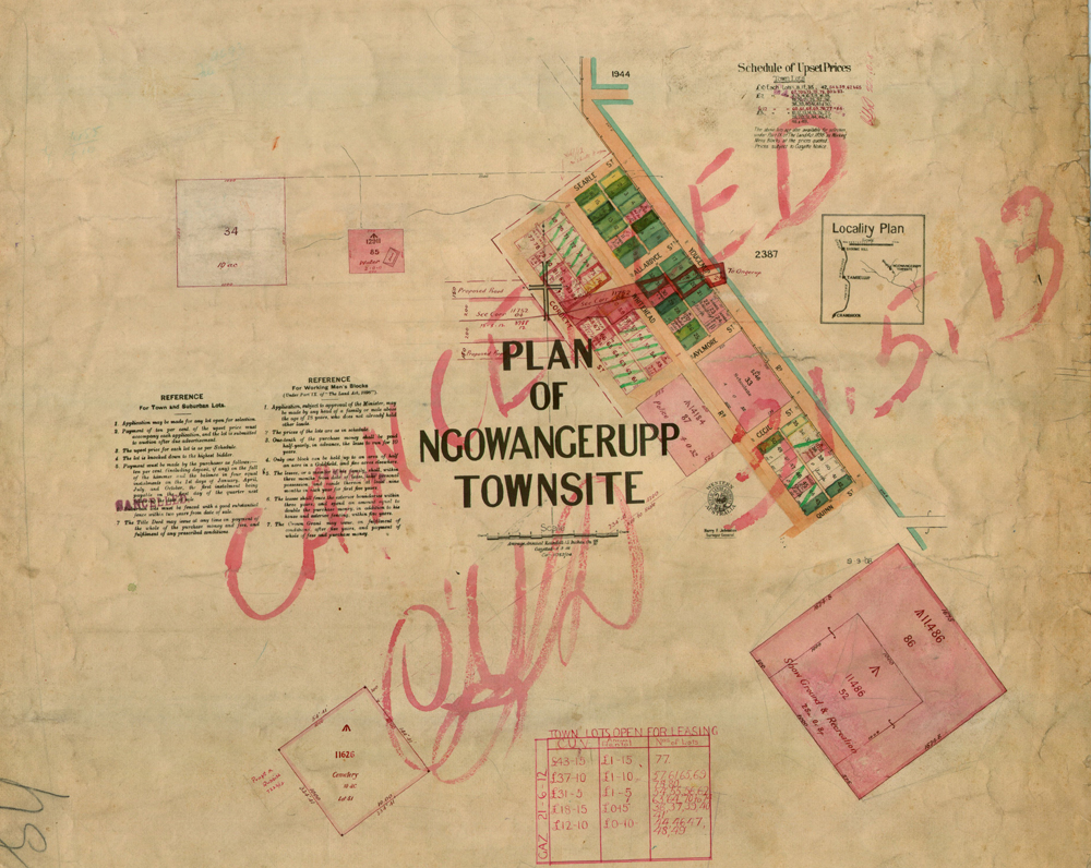
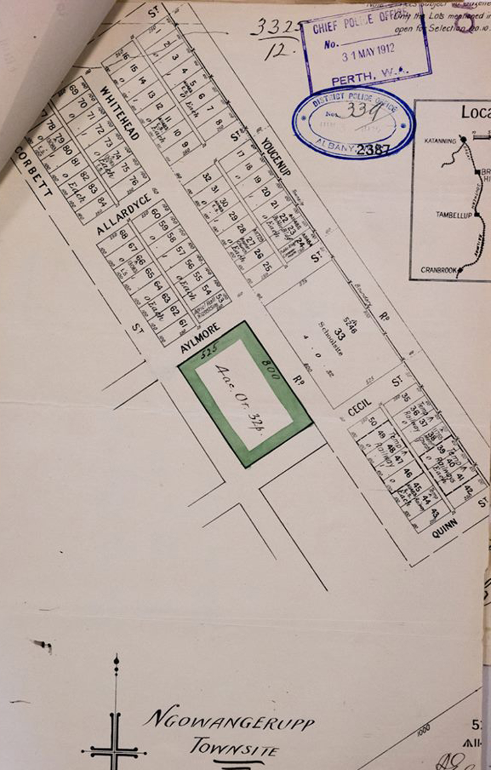
MAP OF SITE FOR TOWN OF GNOWANGERUP |
|
|
|
|
|
|
|
|
|
|
|
Every endeavour has been made to accurately record the details however if you would like to provide additional images and/or newer information we are pleased to update the details on this site. Please use CONTACT at the top of this page to email us. We appreciate your involvement in recording the history of our area.
|
|
References: Article: Image: State Library of Western Australia
Copyright : Gordon Freegard 2024 |